
Wetland Delineation and Ecological Surveys
Preliminary Data Collection and Desktop Analysis
→ We begin by gathering existing information—topographic maps, aerial imagery, soil surveys, and hydrology data—to identify potential wetland areas and ecological resources. This phase leverages GIS overlays and regulatory databases to flag state-listed plant habitats, known gopher tortoise zones, and scrub-jay territories. Early desktop work focuses field efforts and ensures compliance with USACE and state guidelines.
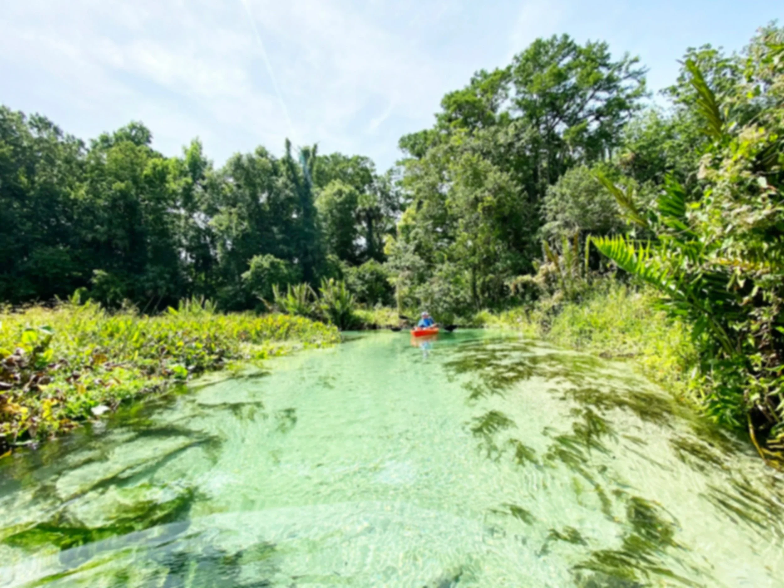
Field Reconnaissance and Wetland Boundary Delineation
→ Certified specialists visit the site to confirm hydrophytic vegetation, hydric soils, and wetland hydrology indicators. Following the USACE’s 1987 Wetlands Delineation Manual, we stake boundary flags, record GPS points, and photograph key features. This in-field method produces an accurate map of jurisdictional wetlands, streams, and upland buffers for permitting.
Botanical Inventories and Rare Plant Assessments
→ Botanists conduct systematic surveys across mapped habitats, cataloging species composition and abundance. We focus on state-listed and federally tracked plants, noting population size, phenological stage, and threats such as invasive species. Findings feed into mitigation planning or conservation easements, and support permit conditions that protect sensitive flora.
Wildlife Habitat Evaluations
→ Ecologists assess habitat suitability and presence of target fauna, including gopher tortoise burrow surveys (measuring burrow density and activity) and scrub-jay territory mapping (documenting nest sites and foraging areas). We also record incidental wildlife observations to inform broader biodiversity assessments. Data drive recommendations for habitat preservation, tree-canopy retention, and on-site buffering.
Our Strategy:
Endangered and Threatened Species
→ Under the Endangered Species Act, we evaluate potential impacts to listed species—including sea turtles, migratory birds, and imperiled reptiles. Services range from habitat suitability modeling to preparation of Section 7 or Section 10 consultation packages. We propose avoidance, minimization, and compensation measures (e.g., relocation plans, timed construction windows) to secure Incidental Take Permits.
Reporting, Mapping, & Permit Help
→ All data converge into a comprehensive report with delineation maps, species checklists, impact analyses, and mitigation strategies. We prepare permit-ready deliverables for USACE 404/401, state wetland resource permits, and wildlife agency approvals. Post-submission, our team tracks agency review timelines, responds to data requests, and refines plans until fully authorized.
Frequently Asked Questions:
-
Typical project timelines run 3–6 weeks for desktop analysis and field work, plus 2–4 weeks for final reporting. May differ with specific/complex projects
-
Drone-based aerial surveys with multispectral imaging can accelerate boundary mapping and detect vegetation stress.
—Not In-House
-
eDNA water sampling is an emerging tool for detecting cryptic or aquatic-listed species without intrusive surveys.
-
Integrating mitigation banking options early can offset impacts and streamline permit approvals.