
Site Assessments
Regulatory & Historical Records Review
→ We compile federal, state, and county files—FDEP databases, local permitting logs, fire insurance maps, and aerial imagery—to reconstruct past site uses. This step flags potential contaminants from dry-cleaning operations, gas stations, agricultural runoff, or other Florida-specific activities. Early identification of Recognized Environmental Conditions (RECs) streamlines planning and keeps projects compliant with ASTM E1527 and FDEP guidelines.
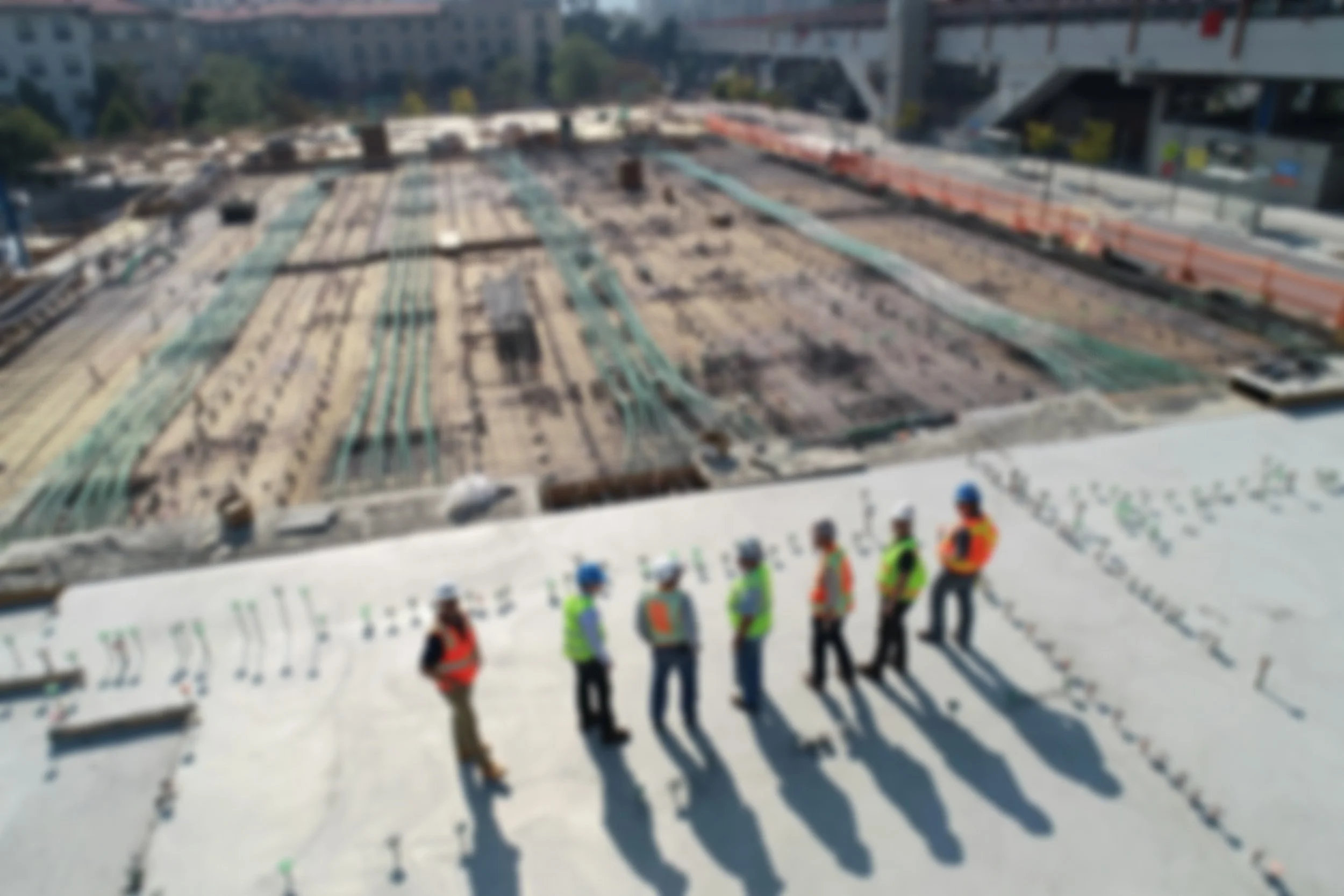
Phase I ESA Site Reconnaissance & Reporting
→ A Florida-certified environmental professional conducts a walk-through to observe storage tanks, stained soils, distressed vegetation, or odors. Interviews with site operators and neighbors uncover undocumented spills or undocumented uses. The resulting report documents RECs and recommends targeted next steps, ensuring you meet lender and regulatory requirements before closing.
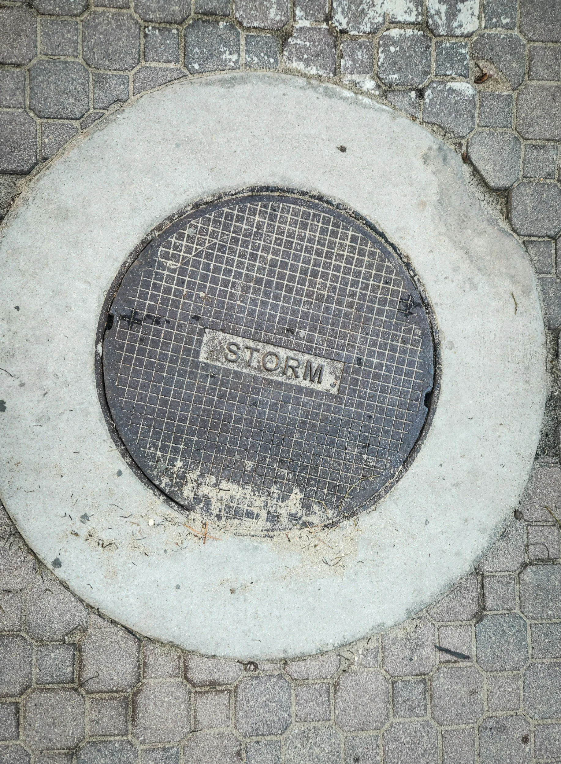
Phase II ESA Soil & Groundwater Sampling
→ When Phase I flags concerns, we drill soil borings and may recommend installing monitoring wells in high-risk zones, accounting for Florida’s shallow water tables and karst bedrock. Soil and groundwater samples are analyzed at 3rd party labs for petroleum hydrocarbons, heavy metals, pesticides, and emerging contaminants. Our data maps plume boundaries, helping you understand the true scope and cost of cleanup.
How We Do it:
Brownfield & Incentive Navigation
→ For underutilized Florida properties, we layer environmental findings onto local redevelopment plans and brownfield grant programs. Our team helps you qualify for FDEP’s Brownfields Redevelopment Program, federal EPA grants, and tax incentives. Aligning cleanup targets with financing makes your project more attractive to investors, municipalities, and community stakeholders.
Liability Assessment & Risk Mitigation
→ We assemble a liability matrix detailing responsible parties, cleanup standards, and estimated remediation budgets under Florida law. Through Innocent Landowner and Bona Fide Prospective Purchaser defenses, you gain legal protections. We also recommend environmental liability insurance and escrow strategies to cap your financial exposure. We are NOT Attorneys
Frequently Asked Questions


-
Records & Database Searches: Local fire permits, Sanborn maps, state cleanup sites.
Site Reconnaissance: Walk the property, note storage tanks, staining, odors, stressed vegetation.
Interviews: Talk to past owners, facility managers, long-time neighbors.
Report: A narrative of findings, photographic log, ASTM E1527-compliant conclusions and recommendations.
-
Sampling Design: Grid or targeted sampling based on Phase I findings.
Soil Borings & Monitoring Wells: Install borings to assess vadose‐zone and saturated‐zone conditions.
Laboratory Analysis: Volatile organic compounds (VOCs), semi‐volatile organics (SVOCs), metals, petroleum hydrocarbons.
Data Interpretation: Contour maps, plume migration models, risk‐based screening levels.
-
Site History & Community Context: Align cleanup goals with local redevelopment plans, public health objectives, and brownfield grant criteria.
Regulatory Negotiation: Engage state environmental agencies early to scope cleanup alternatives and streamlined approvals.
Economic Incentives: Identify tax credits, low-interest loans, and liability waivers tied to brownfield certification.
Stakeholder Engagement: Coordinate with municipal planners, economic development boards, and neighborhood groups to smooth the path to shovel-ready status.
-
Innocent Landowner Defense: Document due diligence to invoke liability protections under federal law.
Cost Forecasting: Unit costs for soil excavation, in-situ remediation, monitoring well maintenance, and vapor mitigation systems.
Insurance & Indemnification: Structure purchase agreements with hold-harmless clauses, escrow accounts, or environmental liability policies to cap unknown risks.
Decision Matrix: Compare “clean it now” versus “engineer controls” against project timelines and end-use requirements.
-
Typical Phase I ESAs take 2–3 weeks; Phase IIs often require 4–6 weeks plus lab turnaround.
Digital tools (GIS overlays, drone‐photography) can accelerate site reconnaissance and historical mapping.
Integrating community revitalization metrics (job creation, green space) into brownfield proposals often unlocks extra funding streams.